

Map and Track Biodiversity and Hunt Weeds
Autonomously
We are on a mission to automate biodiversity mapping and targeted weed spraying
Managing weeds and improving biodiversity and agricultural productivity is most effectively carried out with mapping and planning. This process, however, is expensive and time consuming. We are aiming to change this. Our soon-to-be-launched system leverages drones and machine learning to provide you with plant maps. These will give you precise information about the composition and location of weed and native species, helping you to better understand you optimise your land management practices.
Automated Weed and Biodiversity Mapping
(Coming Soon)
With Dragonfly AI, survey data from drones can be used to produce maps of an area complete with plants pinpointed, labelled and grouped according to species. Various maps can then be generated to show all species or filtered to only display or highlight the presence of certain varieties. While the system is still in development, you could be eligible for a free one hectare trial map produced for your property. Click or tap the get in touch button to send us an enquiry by email.
Automated Drone Spraying
(Coming Less Soon)
Do you conduct drone based weed control? Soon Dragonfly Ai will be able to automatically demarcate areas for spraying. This will streamline onerous and error prone manual labelling and reduce excess herbicide use, helping you save time and money.
Want to get involved as a partner or early investor?
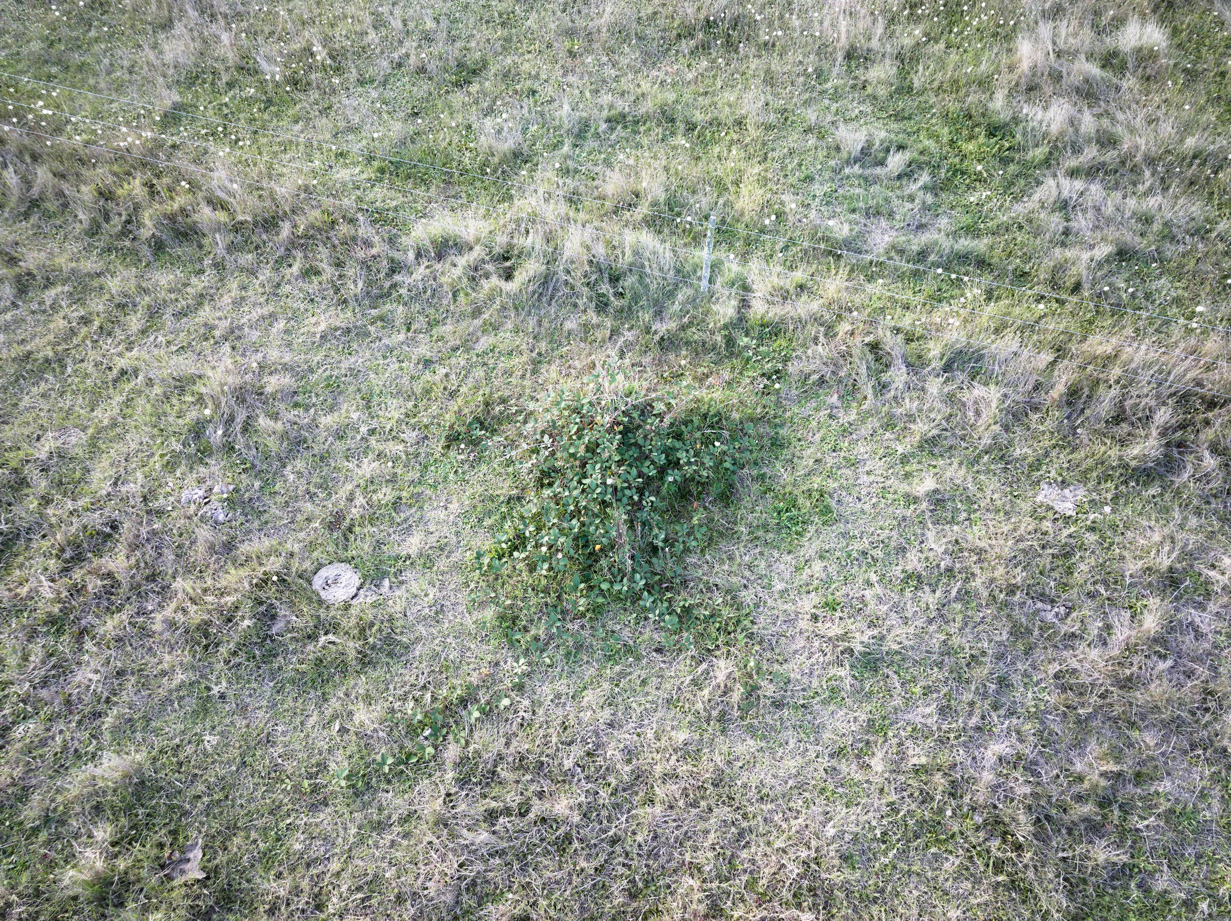
A Blackberry Bush Being Detected and Mapped by Dragonfly AI


Orthomosaic Processing and Production
(Avaliable Now)
Orthomosaic images can help you better understand, plan for or track works on your land, development site, farm or holding. They can also be useful as advertising material or for gaining planning approval. We offer high quality work at extremely competitive price with fast turn around times.
$5 Per Hectare
$1.20 Per km from Melbourne
Minimum charge of $275 including GST. - This is the default price if the combined cost of travel and area covered is less than this figure. I.E. the cost of 10 hectares at 100kms from Melbourne would be a total of $275.
Rates:
Some Terms and Conditions May Apply. See Details Under Menu > Surveying and Orthomosaics.